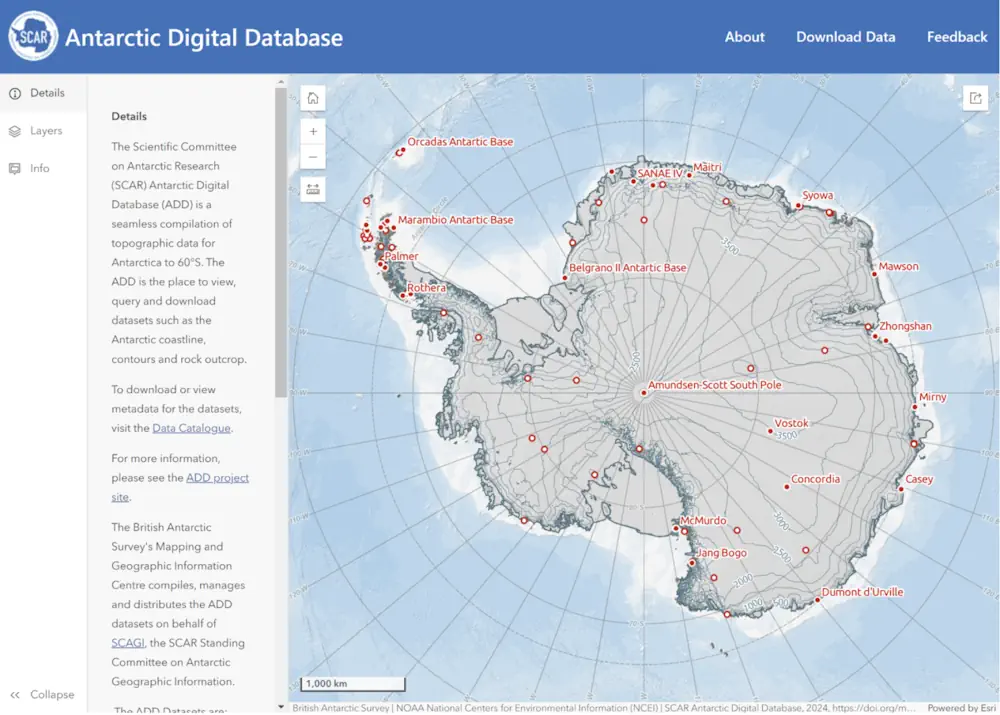
The British Antarctic Survey (BAS) has released a new map viewer that brings together all of the Antarctic Digital Database datasets, plus other useful information, and displays them together in an open-access interactive website.
The BAS’ Mapping and Geographic Information Centre (MAGIC) is responsible for keeping the maps and data up to date, with the aim of aid safe travel and operations on the continent.
MAGIC compiles, manages and distributes data that makes up the Antarctic Digital Database, which provides a compilation of topographic data including coastline and contours.
The release of the open-access digital viewer coincides with the latest release of data updates, which record physical changes in Antarctica. New extents for some ice shelves have been drawn, where icebergs have calved away from the continent where other ice shelves have grown by flowing away from the land.