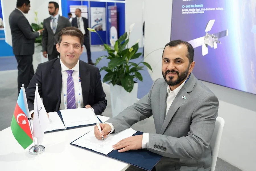
Azercosmos and Bayanat company of the United Arab Emirates (UAE) have signed a cooperation agreement. According to the agreement, the parties will cooperate in the area of Geographic Information Systems (GIS).
This includes promoting potential projects and opportunities for the acquisition, processing and application of remote sensing data, geospatial data capabilities, experience and knowledge sharing. Moreover, Azercosmos will be able to utilize the geospatial information platform that belongs to Bayanat for 1 year. Within the framework of the cooperation, the expansion of the use of Earth observation solutions during mapping and research in the field of oil and gas is also planned. Bayanat company will also conduct training programs in Azerbaijan on artificial intelligence, Synthetic Aperture Radar (SAR) technology, geographic information systems and remote sensing solutions, especially for experts and users of GIS.