UPV/EHU Submits Algorithm For Mapping Burnt Areas On A Global Scale
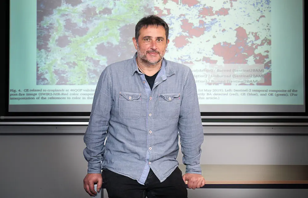
Using data from two satellites that collect optical images, and from another four that measure high temperatures caused by fires, a publication led by Aitor Bastarrika of the UPV/EHU’s Built Heritage Research Group, is proposing an algorithm to achieve the global mapping of burnt areas with a higher resolution. Obtaining accurate, up-to-date information from fire-affected ...
ehu.eus
