Geomaticians

University of Minnesota

How Artificial Intelligence Can Help Beavers Fight Floods, Droughts And Wildfires

How Artificial Intelligence Can Help Beavers Fight Floods, Droughts And Wildfires

A few years ago, a couple of Google employees reached out to a Minnesota scientist with an unusual proposal: What if they could teach computers to spot beaver habitats from space? “They wanted to know if I thought it was possible to find beaver wetlands from aerial imagery myself, and then if that could be ...
cbc.ca

High-res Maps Of Entire Polar Regions Provide New Clues For Climate Researchers

A team of researchers led by the University of Minnesota Twin Cities has released four more years of high-resolution imagery data, which has been added to eight years of previous data, to create the most detailed polar region terrain maps ever created. The maps use high-resolution satellite data to show the polar regions in stunning ...
newswise.com

Data Scientists Use New Techniques To Identify Lakes And Reservoirs Around The World

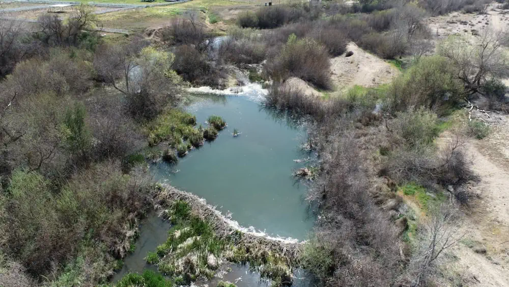
An interdisciplinary team of researchers, led by University of Minnesota Twin Cities data scientists and supported by the U.S. National Science Foundation and NASA, has published a first-of-its-kind comprehensive global dataset of the lakes and reservoirs on Earth showing how they have changed over the last 30+ years. The data will provide environmental researchers with ...
newswise.com