Geomaticians

Purdue University

Liang grant (Purdue University Agrcultural Communications photo)

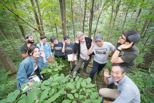
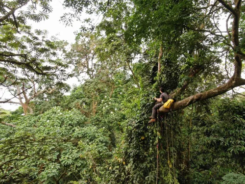
Purdue Launches New AI-based Global Forest Mapping Project

Purdue University’s Jingjing Liang has received a two-year, $870,000 grant from the World Resources Institute to map global forest carbon accumulation rates. “To accurately capture the carbon accumulation rates of forested ecosystems across the world has always been a challenging task, mostly because doing so requires lots of ground-sourced data, and currently such data are ...
purdue.edu

Purdue Team Introduces Advances In Automatic Forest Mapping Technology

How lightning travels from the sky to the ground inspired the concept behind a new algorithmic approach to digitally separate individual trees from their forests in automatic forest mapping. “When lightning travels from the sky to the ground, it finds the path of least resistance through the atmosphere,” said Joshua Carpenter , a Ph.D. student ...
wbiw.com
Assessing Global Biodiversity With Ears To The Ground, NASA Eyes In The Sky

Assessing Global Biodiversity With Ears To The Ground, NASA Eyes In The Sky

Purdue University professor Bryan Pijanowski’s research team will be working in some wild and remote places around the globe in the coming year. Pijanowski’s sound-source surveyors will be equipped with microphones, headphones and parabolic reflectors to efficiently collect sound waves from the natural world. Their tools also include low-flying drones and sensors mounted on orbiting ...
purdue.edu