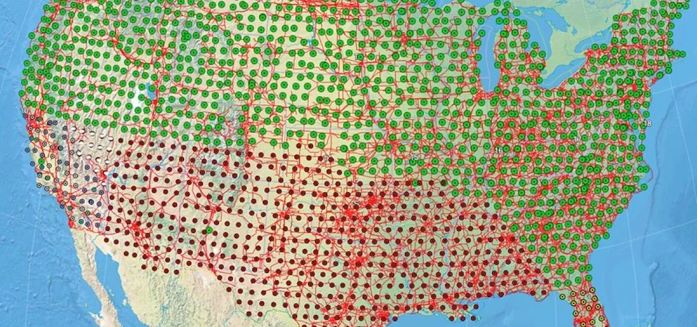
OSU Researchers Complete Electrical Mapping Project Critical To Protecting The U.S. Power Grid
A nearly 20-year effort to map the electrical properties of Earth’s crust and mantle across the contiguous United States, viewed as critical to protecting the electrical grid during extreme solar storms and against damage from electromagnetic pulses used as weapons, is now complete. The 3-D geoelectric map produced by researchers provides vital information to scientists, ...
today.oregonstate.edu
