Geomaticians

Griffith University

Satellite Methods Provide Drought Detection From Space

Satellite Methods Provide Drought Detection From Space

Observing sites such as the Amazon basin from space has underscored the capability of satellites to better detect signs of drought, according to a new study. Led by Military University of Technology Poland and Griffith University, the researchers combined two advance satellite-based methods to improve monitoring of hydrological droughts.  Advance satellite-based methods, such as the ...
news.griffith.edu.au
Using Satellite Imagery To Build Climate Resilience For Seaweed Farmers In Indonesia

Using Satellite Imagery To Build Climate Resilience For Seaweed Farmers In Indonesia

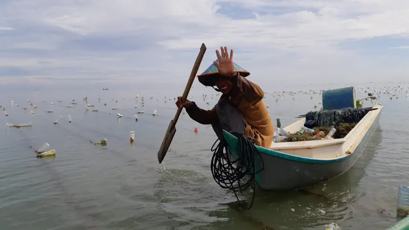
Griffith Agribusiness’ most recent recruit, Dr Zannie Langford, is set to take the lead on a new project, exploring climate change resilience strategies for seaweed farmers in Indonesia. Seaweed farming is Indonesia’s largest marine aquacultural industry, but the variability of ocean conditions and the impact of rainfall on seaweed production mean that it is already ...
news.griffith.edu.au
Researcher’s Giant Feat Defending Native Forest And Prime Koala Habitat

Researcher’s Giant Feat Defending Native Forest And Prime Koala Habitat

Dr Timothy Cadman has successfully secured the protection of local hardwood areas once primed for logging, including native forest belonging to the proposed Great Koala National Park along the Mid North Coast of New South Wales. Dr Cadman has employed geographical information systems (GIS) for data mapping and analysis of the local environment, providing evidence ...
news.griffith.edu.au