New app surveys, maps and identifies wild animals
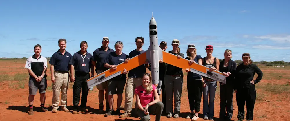
A new, freely available and open-source app that uses aerial survey data to map and identify wild animals, has been launched by researchers from Edith Cowan University. The app is intended to help researchers and community groups across the world to conduct wildlife imagery surveys. Known as WISDAM — Wildlife Image Survey Detection and Mapping — the ...
spatialsource.com.au