Geomaticians

Duke University

World’s First Map Of Industrial Ocean Use

World’s First Map Of Industrial Ocean Use

Illegal fishing practices through spoofing tracking devices in ships have become a common practice in the industrial use of our oceans. A new study published in the journal Nature corroborates the trend and offers a view of the changing oceanic activities and landscape. Led by Global Fishing Watch, a company founded by Google, the study ...
geospatialworld.net
Unveiling Italy’s Hidden History With Fixed-wing Mapping UAVs

Unveiling Italy’s Hidden History With Fixed-wing Mapping UAVs

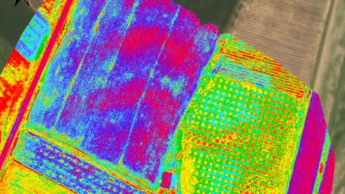
Mapping an archaeological site is key to being able to dig with greater precision. Now with the latest digital methods, areas of interest can easily be identified rapidly and non-invasively – helping to protect the site and future excavations. Here, Chris Thompson, Global Sales Manager at AgEagle, looks at how a team of Duke University ...
gim-international.com