![]()
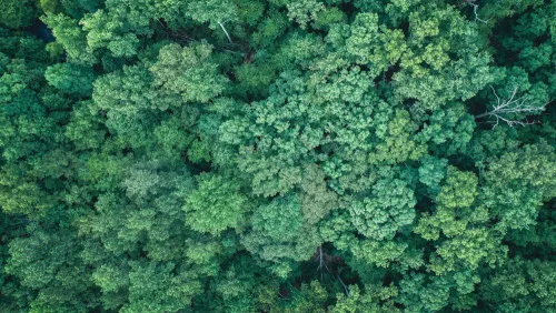
Forest Remote Sensing Faces New Era With 10-cm Satellite Imagery
Scientists from the Aerospace Information Research Institute (AIR), Chinese Academy of Sciences (CAS), have proposed a new algorithm called AGAR, which makes it possible to detect tree heights only using 10-cm stereoscopic imagery, according to a study published in Remote Sensing of Environment on May 10. Current knowledge on the limitation of stereoscopic imagery is ...
miragenews.com