Manual curation of geospatial data, especially in the realm of renewable energy infrastructure and natural resource monitoring, involves a thorough process of aggregating, cleaning, and correcting datasets from various sources, often across multiple countries. This challenge has hindered efforts in emissions reduction, disaster relief, urban planning, and more, where precise geospatial insights are paramount.
While there have been efforts to provide geospatial data, they have often fallen short of providing a comprehensive and up-to-date solution. These attempts at providing geospatial data frequently involve compiling regional datasets, which can be limited in scope and accuracy. Moreover, the rapidly changing landscape of renewable energy infrastructure demands a solution that can keep pace with its expansion, transcending political boundaries and offering a global perspective.
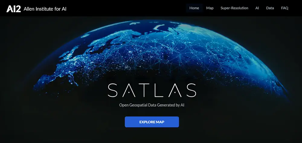
Meet Satlas, the groundbreaking platform introduced by the Allen Institute for AI (AI2). Satlas is set to revolutionize the way we access and utilize global geospatial data generated by cutting-edge AI algorithms applied to satellite imagery.
This innovative platform currently offers three invaluable data products: Marine Infrastructure, Renewable Energy Infrastructure, and Tree Cover. These datasets are updated on a monthly basis, ensuring that decision-makers have access to the most current and accurate information available.
The heart of Satlas lies in its utilization of modern deep-learning methods. AI2 has developed high-accuracy deep learning models for each of the geospatial data products. These models are trained to process Sentinel-2 satellite imagery and extract information with accuracy equivalent to human analysis. By applying these models to satellite imagery, Satlas provides an up-to-date global snapshot of each geospatial data product, filling the gap left by manual curation and outdated datasets.