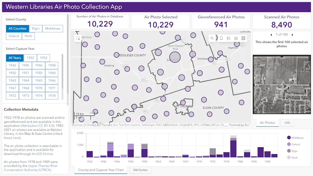
A new app featuring more than 10,000 aerial photos from London and surrounding counties shows what the region looked like from the air in the last 100 years.
Developed by Eunice Chu, a fourth-year geographic information systems (GIS) student who works as a student library assistant at the Map and Data Centre at Western University’s Weldon Library, the air photo collection app allows anyone to look up pictures of their corner of southwestern Ontario.
The app is for researchers, students, and anyone curious about what London, or the counties of Perth, Elgin, Oxford, and Middlesex, looked like since the 1920s.
“It took two graduate students from the faculty of information and media studies two years of work to scan all 10,000 photos and update all the metadata so that the photos could be discoverable, first in the database and then once we moved them into the GIS as well,” said Zack MacDonald, Weldon’s map librarian.
GIS brings the spacial elements of our world into perspective, said Liz Sutherland, a GIS specialist whose idea it was to map all of the aerial photos and who was instrumental in getting the project off the ground. “It’s all about bringing geography to life in a way that you can use in your everyday existence,” she said.
Many of the pictures were donated by the Upper Thames Conservation Authority, she added.