As Indiana prepares to bring thousands of megawatts of utility-scale wind and solar energy online, environmentalists and educators hope to use new tools — mapping and grant-boosted education — to manage strife over where future projects go.
“There is this (not-in-my-backyard)-ism out there. But it’s not necessarily because of wind and solar energy; it’s because of how the process was initiated,” said Sean Mobley, a senior policy associate for climate and clean energy at The Nature Conservancy in Indiana. The conservancy is developing a geospatial mapping tool that he said combines “hundreds of layers of inputs” to locate sites involving — potentially — fewer conflicts with nature and residents, plus better connections to the electric grid. And it’s working in collaboration with Purdue University’s Extension — which offers Hoosiers home-grown expertise — and the Indiana Office of Energy Development to vie for a federal grant meant to aid in renewable energy siting.
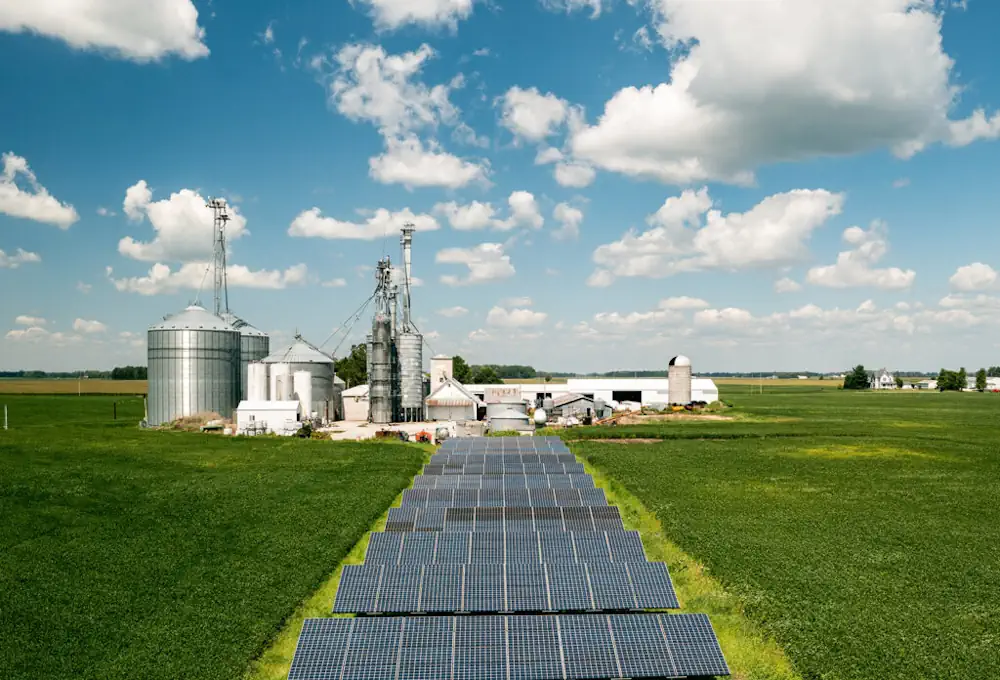
Indiana’s energy mix is changing, like it or not. The state used carbon dioxide-emitting coal to produce about 80% of its energy in 2010, but that dropped to under 50% by 2022, according to the Indiana Office of Energy Development. Indiana has about 3,500 megawatts of wind and more than 400 megawatts of utility-scale solar in operation, the office said. More is on the way. More than 12,000 megawatts of wind, solar, and storage have gone through the Indiana Utility Regulatory Commission’s regulatory proceedings, the office said, and almost 9,000 of those megawatts are expected to come online by 2028. And Hoosiers are largely open to the prospect, according to a survey conducted by Indiana-based Bellwether Research on behalf of the conservancy.
In the May 8-14 phone and text-to-web survey of 600 voters across the state, 63% of residents had favorable views of wind projects and 67% looked favorably on solar projects. About 25% and 20%, respectively, reported unfavorable views. And the majority of Hoosiers in a 600-person oversample — of a dozen potential wind and solar counties — said they wanted Indiana to increase its use of wind (61%) and solar (71%). But fewer respondents in both the statewide and oversample surveys held favorable views of companies who operate large wind farms (49%) and solar farms (56%) in Indiana, as well as of their county commissioners (46%).
Hoosiers may not mind renewable energy projects in the abstract, but could still stand opposed to specific projects — which were not included in the survey — that impact their communities, Mobley acknowledged. Residents often rally against other state- and developer-led projects: land and water concerns have driven backlash to a major industrial campus in Boone County and health and safety fears to planned carbon sequestration in Vigo and Vermillion counties. Reactions against change or development may win out against developers in other cases. But Mobley and others hope to develop a “standard operating procedure” and technical expertise to navigate or even avoid conflict over nature, farmland and other flashpoints.
Mobley calls the conservancy’s project a renewable energy “opportunity map.” It uses data from Site Renewables Right and Power of Place to avoid important wildlife habitats and productive farmland, alongside demographic information and more. The map’s modeling parameters for wind and solar also include the distance to major roads, substations and transmission lines — plus average annual wind speed, sunlight and ground slope. It additionally contains layers for degraded lands like former mining areas, landfills and polluted industrial tracts known as brownfields that could host a project. When the map goes live in early 2024, Mobley hopes developers and stakeholders can use it as tool — alongside better processes.