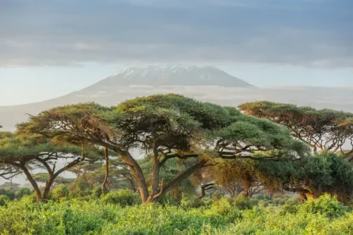
High-resolution satellite imagery has been used to map every single tree in Africa, demonstrating a technique that could help improve the monitoring of deforestation across the world. Florian Reiner at the University of Copenhagen, Denmark, and his colleagues used images from satellites operated by US firm Planet and machine-learning models to map canopy cover across the entire African continent. Modern satellites usually capture tree canopies at a resolution of 30 metres – fine for measuring the size of forests, but less good at mapping individual trees and small thickets.
The satellite data Reiner and his colleagues used had a resolution of 3 metres, enabling the study to map all trees, including those not part of a forest. The results suggest that 30 per cent of all trees in Africa aren’t in a forest, and instead are scattered across farmland, savannah and urban areas. Many countries in Africa lack dense forests, but have a lot of trees nonetheless, says Reiner. “These trees are incredibly important to the local ecosystems, the people, to the economy.”